
Kailua Neighbors by Public Source
Public records describe land and civic geography more reliably than they describe a household. HoLIS supplies parcel polygons and identifiers. RPAD adds the assessed parcel, site address, class, history, and fee-owner label. DPP explains permits, legal addresses, subdivisions, and added units. Neighborhood Board records document public matters tied to streets or TMKs. These layers can define the block around an address, but they do not create a household roster.
| Official source | Block-level evidence | How to reach it |
|---|---|---|
| HoLIS All Parcels | Physical adjacency, TMK, lot and subdivision fields | Honolulu Open Data and ArcGIS parcel service |
| RPAD | Site address, parcel class, history, fee-owner label | Official property search; phone and office fallback |
| DPP | Permits, address status, subdivisions and approved work | Permit search, HNL Build, DAIB records request |
| Neighborhood Boards | Street issues, public projects, meetings and civic boundaries | Board pages, packets, street index and Find My Board |
| OLVR address search | Ballot and candidate geography only | Island-and-address form, not a resident roster |
An RPAD fee owner may live elsewhere. A mailing contact may be a trustee, firm, or representative. Permit applicants and people named in meeting minutes also have defined record roles. Label each fact with its source and date instead of changing those roles to “resident.” For a private introduction, the sound route is direct contact or a community event, not publication of a compiled owner list.
Define a Kailua Neighbor
Start with a rule that another researcher could repeat. The narrowest rule is a polygon that shares a boundary with the target parcel. A broader rule might be all valid street addresses within a stated house-number range or one board boundary. Write the rule before opening a name record. Otherwise a map view can expand until “nearby” has no stable meaning.
Not every touching polygon is a home. HoLIS distinguishes tax and regulatory parcels, including tax-only and regulatory-only features. A polygon may be a street, waterway, common area, or part of a condominium property regime. Its type and parcel_fabric_type fields matter. Confirm the TMK and RPAD site address independently before treating a shape as one of the surrounding residential parcels.
Map a Kailua Block
The adjacent-parcel method begins with one verified address and moves outward one polygon at a time. Record the date and source-edit fields from the parcel layer. That makes later changes visible and avoids treating an old screenshot as a current map. Use only the next record needed for the question. A permit question may need DPP data, for example, but not an owner mailing field.
- Standardize the target address with USPS, then confirm its RPAD site address and 12-digit Property ID.
- Select the matching HoLIS polygon. Save its parcel UID, TMK, type, subdivision or lot fields, geometry, and source date.
- Inspect each touching polygon in the same layer. Exclude streets, common areas, water, and other non-home features only after checking their type.
- Open each relevant TMK in RPAD and verify the site address. Keep fee owner, mailing contact, and occupancy as separate concepts.
- Check DPP only when a subdivision, unit, permit, or address question affects the block definition.
The official HoLIS All Parcels service exposes the map layer and field metadata. When the task expands from an immediate cluster to every address on a named road, the Kailua street directory owns that longer street-by-street chain.
Label Kailua Parcels Carefully
RPAD documentation confirms searches by site address or TMK. Its records may include current and historical assessments, sales, land, improvements, classifications, and fee-owner information. Online data carries a warning that it may not be current or legal documentation. The current qPublic or Schneider form was blocked during unattended research, so its exact owner-search controls and field order should not be guessed.
A situs address identifies the physical parcel. A mailing address is where assessment notices go. They may differ. Likewise, an exemption claimant or lessee field has its own administrative meaning. Compare parcel facts to the question at hand and avoid the tempting but unsupported step of calling every named party a current resident.
Kailua Block Permit Records
DPP records can explain why a block map and the visible street do not match. A newly approved unit, subdivision, vacant parcel, or address assignment can create several official identifiers for one physical site. The legacy Building Permit Search offers application number, permit number, address, TMK, and date-range fields. HNL Build serves newer account and customer activity. A summary is not the full case file.
For complete material, use DAIB’s Request to View Records or send a narrow UIPA request to DPP. Ask for the permit, plan, or address record by TMK and date range. A public permit can establish work at a lot and identify a person in an official role. It still does not establish who now lives next door.
Kailua Civic Records in Board 31
Kailua Neighborhood Board 31 is the strongest official community layer found. Its page provides current agendas and minutes, archives from 2008 through 2025, and resolutions from 2005 onward. Regular meetings are listed for the first Thursday at 7 p.m. in the Kailua District Park Multipurpose Room. Packets may name a street, TMK, permit, public project, agency representative, or person giving public comment.
Those records document civic participation, not residence. The neighboring public-board areas also clarify local geography: Waimanalo is Board 32 and Kaneohe is Board 30. A board line cannot decide a parcel boundary or postal ZIP. Use the official board directory and Find My Board tools for civic assignment, then return to HoLIS for the land.
The assigned board-directory image shows the official boundary and board-finder entry point.
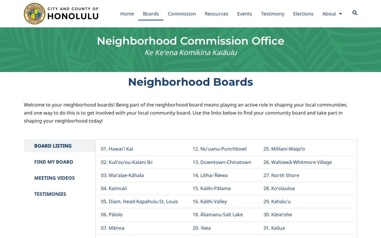
It is useful for routing a street issue to Board 31, while its boundary should never be read as an ownership or household map.
Kailua Street Range Crosswalk
The official Neighborhood Board Street Index links street and house-number ranges to board and ZIP geography. Kailua Road is a useful test because the PDF splits its house ranges and assigns the listed ranges to Kailua 96734. A street name plus ZIP is therefore not enough. Check the house number, USPS standardization, board area, TMK, and parcel geometry as separate fields.
The same caution applies near Waimanalo. ZIP 96734 is Kailua, while 96795 is Waimanalo, but regional programs may group both. Kailua CDP, postal city, Board 31, and an RPAD parcel each draw a different kind of boundary. This layered geography explains why a tool may place the same block in a broader Windward label without proving that its residents moved.
Kailua Voter Data Is Limited
Hawaiʻi law makes a voter’s full name, district and precinct designation, and voter status public. Other registration-affidavit information remains confidential except for authorized election and government purposes. The OLVR address form returns ballot and candidate geography. It does not return the names of voters at an address and cannot serve as a block resident list.
If a civic question requires a public election record, request the narrowest suitable item from the Honolulu County Elections Division and state the purpose and date range. Do not combine a board street range, postal ZIP, and parcel owner to infer a private voter file. Those are different systems built for different work.
Official Kailua Neighbor Records
Official tools make their record role visible. HoLIS identifies a parcel, RPAD identifies assessment facts, DPP identifies a permit or address action, and a board packet identifies a public meeting record. Each can be checked against the agency that keeps it. Commercial neighbor tools may blend purchased, scraped, and older data without showing which date or custodian supports a match.
Official records
Best for a defined parcel, permit, boundary, or public civic act. The source date and limits can be recorded.
Commercial compilations
May be quick, but stale addresses and merged identities are hard to audit. Treat any result as an unverified lead.
A good neighbor search uses the least personal data needed. For parcel curiosity, a TMK and public map may be enough. For a community concern, a board agenda or DPP permit may answer the issue without publishing any private name.
A professional name raised in a public block matter can be checked through the DCCA Professional and Vocational Licensing search, but the result confirms a license record, not that the professional lives nearby.
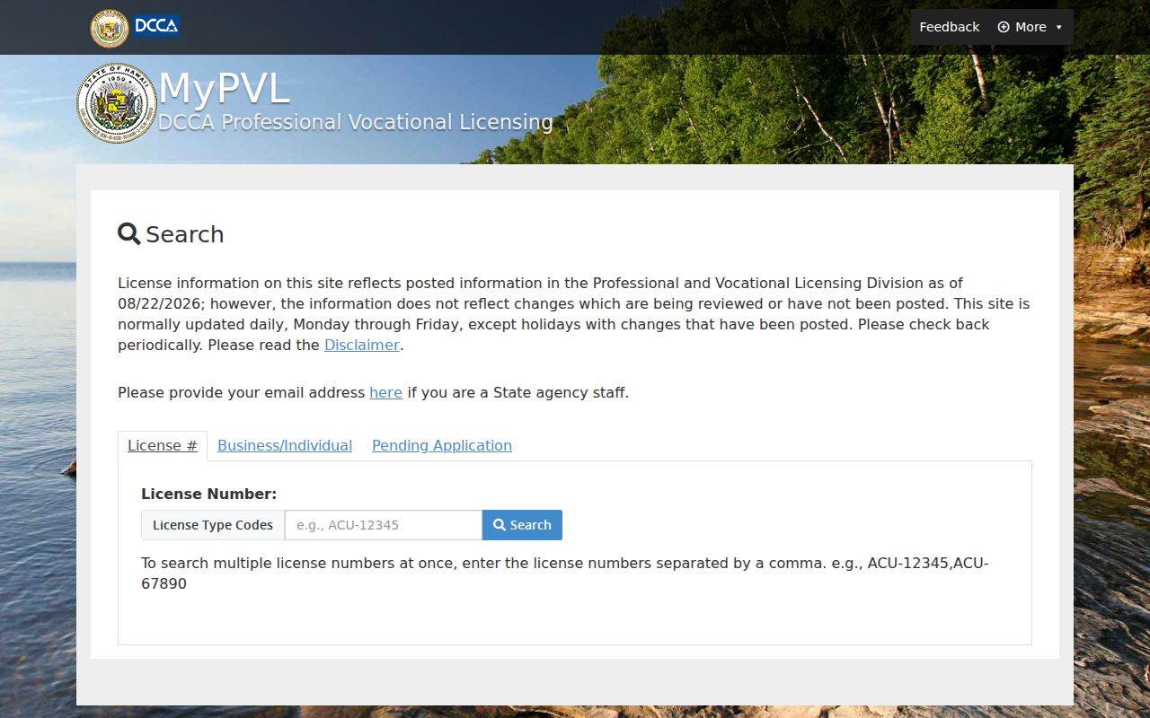
The search screen demonstrates the narrow-source rule: use a licensing portal only for the license question it was designed to answer.
Protect Your Kailua Neighbors
Public access is not permission to republish a block dossier. Do not post exact private addresses that are irrelevant to the question, infer household members from shared surnames, or turn an assessment contact into a claim of occupancy. Hawaiʻi’s Address Confidentiality Program gives qualifying survivors a substitute address and mail forwarding through designated application assistants. Public-record research should never be used to defeat that protection.
There is no complete official directory of private Kailua associations in the research. Do not invent one or treat a board roster as a neighborhood household list. For unavailable county records, contact RPAD, DPP, the board office, Kailua Public Library, or State Archives as appropriate. A narrow written request under the Uniform Information Practices Act can seek a defined agency record, but it cannot force release of information protected by law.
Respect the block. Research nearby households only for lawful property and civic questions, never to watch, harass, intimidate, or expose a protected person.