
Kailua ZIP Directory Coverage
Official state and USPS sources place Kailua proper in 96734. Two other Windward ZIPs often appear in nearby searches, yet neither should be silently folded into Kailua. Waimanalo uses 96795, while Kaneohe uses 96744. Regional health or civic sources may group communities for analysis, but their broad bucket is not a postal rule.
| ZIP Code | Areas Covered | Post Office | Notes |
|---|---|---|---|
| 96734 | Kailua proper | Kailua Post Office | Primary Kailua ZIP; validate the exact address |
| 96795 | Waimanalo | Waimanalo Post Office | Adjacent Windward context, not Kailua proper |
| 96744 | Kaneohe | Kaneohe postal area | Nearby context and court location, not a Kailua ZIP |
The Hawaiʻi state ZIP list supports the 96734 Kailua and 96795 Waimanalo labels. Use those place names exactly. No official source in the research documented a Kailua-specific ZIP split, a dated realignment, or a local PO-box-only or unique institutional ZIP. The accurate directory therefore reports the current mapping without inventing a boundary history.
Validate a Kailua ZIP Address
The USPS ZIP Code Lookup is the first stop for a current mailing address. Enter the full street and city rather than guessing from a nearby landmark or regional label. USPS standardizes the address and supplies postal geography. Its own disclaimer matters: the result does not confirm that a person or company is at that location.
| USPS Field | Input | Use |
|---|---|---|
| Company | Optional text | Business addressing when relevant |
| Street Address | Required text | House number and street |
| Apt/Suite/Other | Optional text | Unit or secondary address |
| City | Required text | Entered postal city |
| State | Dropdown | Select Hawaiʻi |
| ZIP | Optional text | Test or refine a known code |
The captured USPS form below shows the address-to-ZIP fields used for Kailua postal research.
View the official USPS address lookup before comparing the result with parcel or civic records.
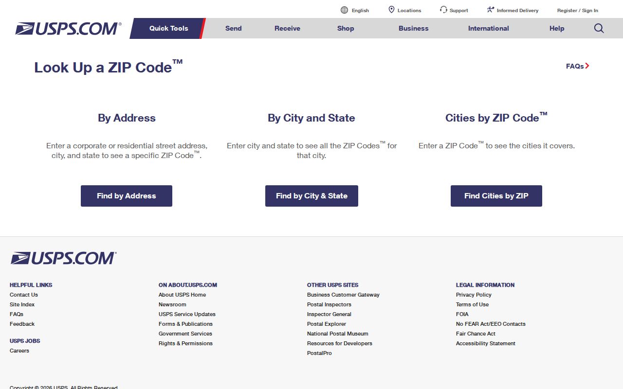
The screenshot confirms that the form validates an address and ZIP. It does not supply resident names.
Search Kailua Records by ZIP
No official Kailua portal in the research provides a general ZIP-wide resident list. ZIP is a sorting aid. RPAD confirms search by site address or 12-digit TMK, not a current ZIP-only filter. HoLIS works through parcel geometry and attributes. OLVR uses island and address to return ballot geography, not voter identity. A careful ZIP code directory workflow moves from postal validation to a narrower official record.
- Run USPS with the exact house number, street, city, and state. Save its standardized city and ZIP.
- Compare that result with the state ZIP list and the dated Neighborhood Board Street Index. Preserve any disagreement.
- Search RPAD by situs address or TMK, then inspect HoLIS geometry and DPP address or permit records.
- For an old address, search the period directory under Kailua, Waimanalo, Honolulu, Oʻahu, and Windward labels.
Once the ZIP narrows to an actual road, the Kailua directory by street handles the address, parcel, permit, and deed sequence. That separation avoids treating every 96734 record as evidence about the same household.
Kailua Ballot Geography by Address
The Hawaiʻi OLVR ballot lookup asks for island and address. It can identify the ballot and candidates tied to that location. It has no ZIP field in the inspected form and does not disclose who is registered there. HRS §11-97 makes only full name, district or precinct, and voter status public, while other affidavit data stays confidential except for authorized purposes.
The captured screen shows why OLVR belongs in a geography check, not a resident roll.
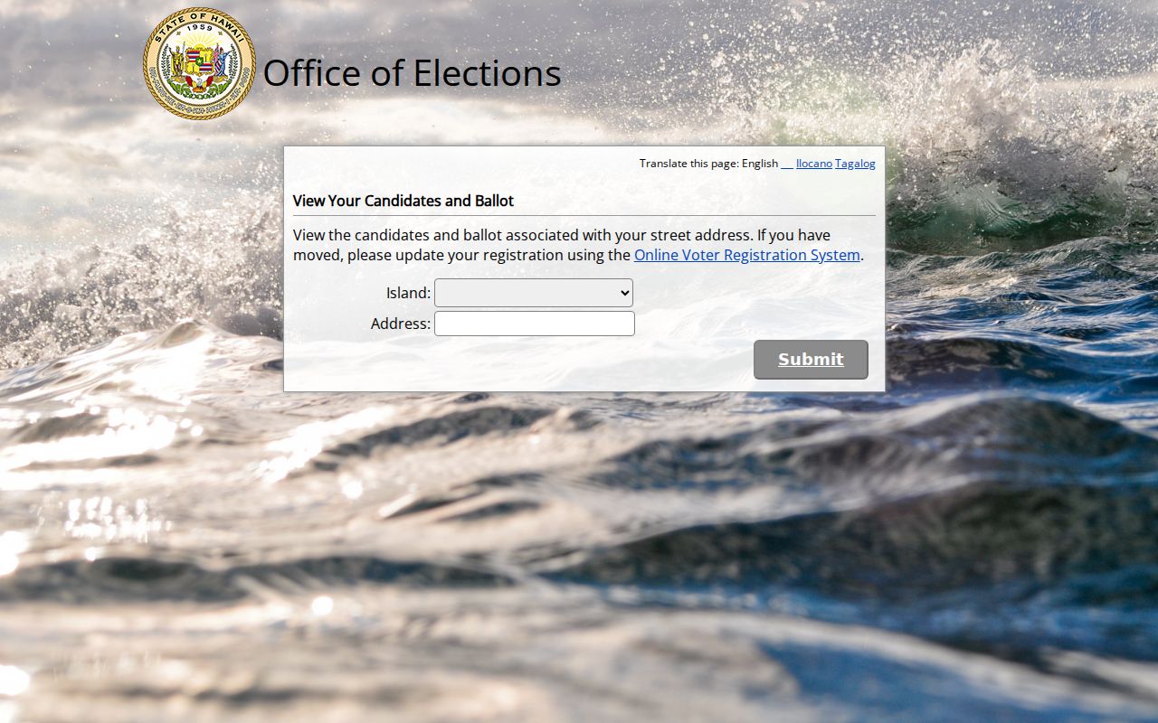
Use the result to understand election geography. Do not combine it with a parcel record to infer a person's private registration address.
Kailua Road ZIP Ranges
The Honolulu Neighborhood Board Street Index gives a dated civic cross-check for local house-number ranges. Its Kailua Road entries include 10–99, 100–250, 101–249, 251–769, 770–798, 771–799, and 800–1350, all labeled Kailua 96734. The overlap reflects how the index organizes odd and even ranges. It should be read as a board-navigation aid, not a current USPS authority.
Waimanalo ranges in the same index begin around the 41-000 pattern and use 96795. This local contrast helps catch a record filed under a regional Windward label. Always return to USPS for a modern mailing result and to RPAD or DPP for parcel and address status.
Note: The Street Index is dated July 2012, so cite its date whenever it supplies civic-board or house-range context.
Waimanalo ZIP Near Kailua
Waimanalo's 96795 is the clearest boundary warning in the Kailua ZIP code directory. Some Windward regional datasets group Kailua and Waimanalo, but USPS labels the code Waimanalo. The Waimanalo Post Office is at 41-859 Kalanianaole Highway, and the researched location page lists weekday counter hours of 10 a.m. to 3:30 p.m. and phone 808-259-0234. Recheck the source before visiting because postal hours can change.
See the official USPS Waimanalo Post Office listing for the current 96795 station details.
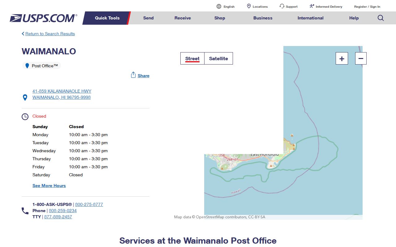
The station listing anchors 96795 to Waimanalo and helps prevent a broad regional label from becoming a false Kailua address claim.
Kailua Address Changes and TMKs
A mailing address and a tax parcel do not always pair one to one. The Honolulu Department of Planning and Permitting accepts address requests for a permitted unit needing its own address, a new dwelling, added dwellings, a vacant parcel, an incorrect address, or legality verification. A search failure may reflect an address-assignment issue instead of the wrong ZIP.
RPAD and DPP also use the Tax Map Key, or TMK. DPP presents an eight-digit pattern such as zone-sector-plat-parcel, and Oʻahu carries the island prefix 1. Condominium property regimes may add a suffix. Preserve leading zeroes, the postal string, TMK, and map polygon as separate values. ZIP alone cannot generate a reliable TMK.
The RPAD record-review instructions confirm site-address and 12-digit Property ID searches. A parcel card can show the situs, fee owner, assessment, sales, improvements, exemptions, and history. The live qPublic field order and any ZIP-only result mode were not confirmed, so do not invent one. DPP's legacy permit form instead exposes address, eight-digit TMK, permit or application number, and created, issued, or completed date ranges. HNL Build serves current customer workflows, while a full file may need the records-viewing request route.
Practical check. If USPS validates an address but RPAD does not find it, try the verified TMK and consult DPP address records before changing the city label.
Historical Kailua ZIP Research
Do not back-project today's ZIP code onto an old directory entry. A nineteenth-century record may name Honolulu, Oʻahu, Koʻolaupoko, or a post-office reference without a modern code. Search the original place label first, preserve its spelling, and add a modern crosswalk only as a dated inference.
The Windward Register holding noted from 1958 forward, historical newspapers, city directories, and street-guide maps are better sources for an address in its own period. Census ZCTAs are statistical approximations, not address-level postal boundaries. Any count drawn from a ZCTA or registry should be called an area count, never a count of all Kailua residents.
Kailua's older geographic labels also reach beyond postal language. Koʻolaupoko and Oʻahu may appear where a modern searcher expects a city and code. Nearby Mokapu or Kaneohe Bay references can describe military or regional context without placing a person in Kailua proper. Keep the period label in the transcript, note the publication year, and search the modern equivalent as a separate step. That method makes the crosswalk clear and leaves room for a later map or directory to correct it.
Kailua ZIP and City Boundaries
ZIP delivery areas, Census CDP lines, neighborhood-board districts, RPAD tax parcels, and USPS city labels solve different tasks. They need not coincide. Kailua's key geographic quirk is the tendency of some regional sources to group 96734 Kailua with 96795 Waimanalo. USPS and the state list keep those postal identities distinct. Kaneohe's 96744 is nearby context, not a Kailua code.
- ZIP vs ZIP+4
- A five-digit delivery area versus a more precise four-digit delivery segment added to it.
- PO-box ZIP
- A code used mainly or only for boxes at a postal facility.
- Unique ZIP
- A code assigned to one high-volume organization rather than a broad neighborhood.
- Carrier route
- A postal delivery path within a ZIP, not a city or parcel boundary.
A sound Kailua ZIP code directory note states which geography the source represents. Use USPS for delivery, the state list for city and ZIP mapping, the Street Index for civic assignment, Census ZCTA for statistics, and RPAD or HoLIS for parcels. If labels conflict, report them instead of forcing one map to answer every question.
HoLIS adds one more caution. Its parcel layer can distinguish tax and regulatory polygons, including tax-only, regulatory-only, and street parcels. A parcel shape is not a postal boundary, and a touching shape is not always a nearby home. The statewide map also warns that displayed lines are for visual reference rather than a legal survey. Keep the map's source and edit date with any geographic note.
For repeatable research, save five fields separately: the address as first found, the USPS-standardized address, the returned postal city and ZIP, the RPAD site address and TMK, and the source date. Then state the exact question each field answers. This small record prevents a 96734 postal match from being inflated into proof of city limits, parcel ownership, or personal identity.